[Written Sunday
morning, April 27]
On Tuesday
afternoon we arrived at the Pumpkin Key West Anchorage and dropped the hook at
about 3:00 PM.
A Favorite Spot.
That gave me time to dive on the Prop and scrape off
barnacles. We've been motoring fairly slowly (not much above 6 knots even at
2800 RPMs) and with quite a bit of cavitation, which I attribute to a fouled
prop, a barnacled hull and the shallow water of Biscayne Bay. At least I can
try to do something about the first two.
My Tuesday
sojourn under the boat allowed me to clean the Prop and the Rudder and the back
end of the boat fairly well. I also did the Starboard side hull as
far as I could reach without going under. Doing this while snorkeling is
exhausting on the arms, shoulders and stamina.
Pumpkin Key Evening.
Early Wednesday morning I was at
it again. This time with a full wetsuit (thank goodness for my new weight
belt). Using a long handled deck brush I was able to get both sides of the hull
all the way down to the keel before giving out. And that was done in two jaunts
separated by an 0930 nap.
When not under
the boat, the anchorage at Pumpkin Key is among our favorites. Unfortunately we
had a cold front from the West on Tuesday night so it was a bit bumpy. But I
did see my first Iridium Flare at 2104:31 (that's the time it was visible - for
almost three seconds!). I had missed one by one minute at 0639. My Flare was
Iridium 90. That's the name of the satellite. Iridium is the satellite phone
company and they apparently have dozens of satellites up there. When a
satellite passes by, if it's solar panels catch the Sun just right, it looks
like a flare. In my case, the satellite seemed to appear as if a light switch
was turned on. It grew brighter for a few seconds and then just completely
disappeared. Since I have been chasing this phenomenon since first hearing
about it on the Boot Key Harbor Cruisers Net, I thought it was pretty
spectacular. You can download an App for this called "Iridium Lite".
Pretty cool!
At about 3:00
Wednesday, yet another jet landed at the Ocean Reef Club Airport. Soon
thereafter we had a call from Jane & Bill Exner who arrived in that
(private) jet to spend the week at ORC. We pulled the anchor up and headed into
the private channel to ORC. We had previously taken the dinghy in to find the
house that Jane & Bill would be staying in and to check the depths of the
approach, the channel, the turning basin and dockside (Mark Twain style with a heavy
zinc at the end of a marked off line).
We found the House.
We never saw less than 7 feet with this
investigation and that proved fairly reliable as we slowly motored in at near
high tide, made a three-point turn in a very narrow residential canal, and
sidled up to the dock to hand off lines to Bill & Jane.
And found the Dock.
Oh! To be plugged
in again. The batteries loved it.
And to see Jane
& Bill again? Even better. Our human batteries loved it!
Home really is where the heart is!
We certainly took
advantage of their spacious retreat and gracious friendship for a few
days. Most of it lounging about, catching up and (for us) being
"home" again with great friends.
Friday the four
of us took a bit of a Day Sail out of ORC and into Card Sound. We motored West
in dead still waters until we were under the Card Sound Bridge (connecting the
Keys to mainland Florida at or South of Homestead). Once into Barnes Sound the
wind seemed to pick up so we loosed the sails and let her fly. At no more than
3 knots, though. But at least we went sailing.
We tried
to make it to our "off reef" sunset watering hole of the evening
before, but chancy weather kept cool heads. Gilbert's Resort, you're a Bill
Exner kind of hole.
Anticipation.
The View from Gilbert's.
Tiki Heaven?
Now, we're tourists!
Ahhhhh……..
Tess and I had
been listening to Chris Parker's weather forecasts for the past few days in
anticipation of jumping offshore to Charleston as we headed homeward. The plan
was to leave ORC for Ft. Lauderdale (leisurely over Saturday & Sunday),
then pick up my brother George as crew for a 3 1/2 day passage to South
Carolina starting Monday night or Tuesday morning. That meant arriving at
Charleston on Friday. But, Chris Parker identified for us a large
cold front moving across the Plains States and due to arrive at the coast on
Wednesday night. Too soon to tell where it would end up, but there would be
significant risk of it getting bigger once it reached the Atlantic. What to do?
What to do?
With this info
available (as of Saturday morning, we would not get a reliable update until
Monday), we decided to take advantage of the benign weekend weather and just
head North. As a result, we left OCR at 0930 and headed from the
Bayside to the Oceanside via Angelfish Creek (depths as low as 6.6 at dead low
tide).
Fond Farewell.
It was then North (actually East) up Hawks Channel toward Miami. Our
first proposed destination was Ft. Pierce but once we left Hawks Channel
crossing the Reef and got into the Gulf Stream (about 12 NM from shore), we
were flying at an average of over 9.5 knots. We adjusted our plan
for Jacksonville expecting an arrival on Monday morning with the possibility of
George meeting us there via Southwest Airlines on Monday night.
Saturday Visitor. Ended up inside the cabin for a few hours.
We did have a bit
of a lumpy Saturday night heading NNE into swells of sometimes five feet and
wind mostly on the nose, but we did make real progress. Sunday morning (after
two hour watches through the night), we were well past Ft. Pierce, but a fuel
supply calculation indicated that we we might arrive at Jacksonville with as
little as 9 gallons of fuel to spare. Too close for our
comfort!
At 0615 we
diverted to the NW toward Cape Canaveral about 30 NM away. We'll
refuel there (at least 100 gallons) and then either head back out toward
Jacksonville (a late afternoon Monday ETA), or make another plan.
Stay tuned...
[Added Sunday
afternoon]
Well, before this
was posted, we progressed. Arrived at the Cape Marina Fuel Dock at 2:30 in the
afternoon and off again by 3:05 after adding 91.88 gallons of diesel fuel to
top off the tank. Port Canaveral is a busy place on Sunday. Not like
Miami at least to the extent that there was no music blaring from every boat.
And all were manageably sized recreational fishermen; no mega yachts. It was
good to have a chance to go in for the first time without worrying about the
bridge opening and lock transit needed to access the ICW from here.
By 5:00 PM we are
out of the long Port Canaveral channel, around the shoals and on our third
waypoint. Next waypoint is 255 NM away at the entrance to Charleston Harbor.
Comfortably motor sailing with Main and Jib we are doing 8.1 knots in a
Northeast breeze with the sun about to set behind is. Very, very nice.
Sunday Visitor. Everyone is heading North.
[Added Monday
morning, April 28]
A rather pleasant
night in the Florida Strait and the Gulf Stream. A nice current had us moving
all night at about 8.5 knots motor sailing in light Easterly winds with the
Main and Staysail. I don't like to have the large Jib up at night with a
shorthanded crew. We are on single handed watches with two hours on and two
off. Between 0600 and 0700 we were reacting to a pronounced wind shift to the
South. We ended up with just the Staysail up for stability since the wind is
very light and right on our stern. We could run up the Light Air Sail, but it
hasn't seen daylight in more than a couple of years and would result in work we
are not anxious to do. Besides, we are on a delivery of sorts,
trying to beat the weather on Wednesday night. And, as of 1000 this morning we
are motoring at almost 9.5 knots.
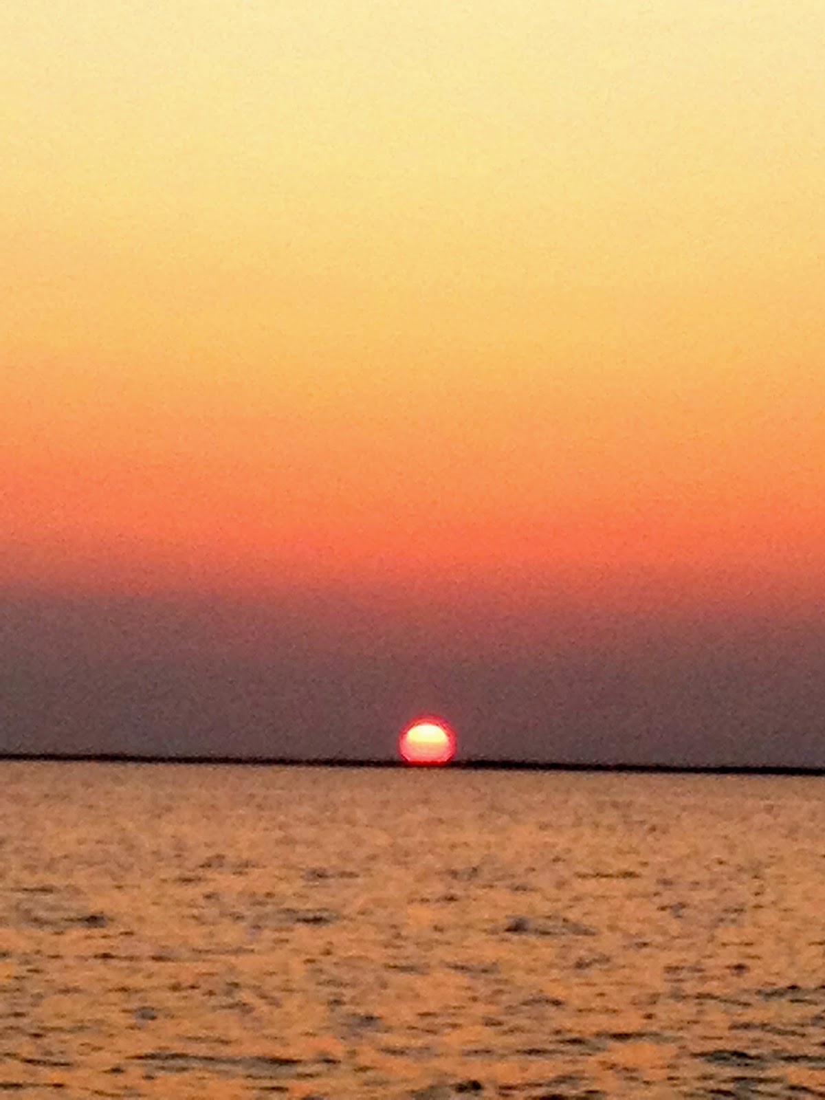
Sunset.
And Sunrise.
But, that's
another issue.
Our ETA at City
Marina in Charleston is 0100 on Tuesday morning. We've been in and
through Charleston quite a bit but arriving at dark (and tired) can be
confusing and frustrating. I've spent the morning looking at
alternatives. Morehead City/Beaufort in North Carolina is the most likely Cruisers'
alternative. But that's 250 NM from where we are now, meaning another night of
two hour watches with the expectation of a night entrance there as well.
The Cape Fear
River could work as well and is 100 miles closer, but that puts us [pause to
watch flying fish] right into the ICW with fairly limited anchoring or service
alternatives. Besides, we are due for a break.
So the plan is
most likely to stick to Charleston. Rest up and provision on
Tuesday. And from there we are 470 Statute Miles to Norfolk. That means that a
70 SM day can be done in 10 hours at 6 knots. In short, even staying in the ICW
gets us to Norfolk in six or seven days. We also have the option of going
offshore again, but if the weather in the latter part of this week is bad, we
can still make inside time. We can be on a plane to New Orleans as early as
next Wednesday!
So, that's "a
plan". Not yet "the plan", but something to work with.
[Added Tuesday
morning, April 29]
Arrived at the
Ashley River Anchorage off the Megadock in Charleston, South Carolina and
dropped anchor at 0500. Great day and
evening on the water. All is well. We’ll see what a few solid hours of sleep
does for our planning and future.


No comments:
Post a Comment